
GIS Data Catalog
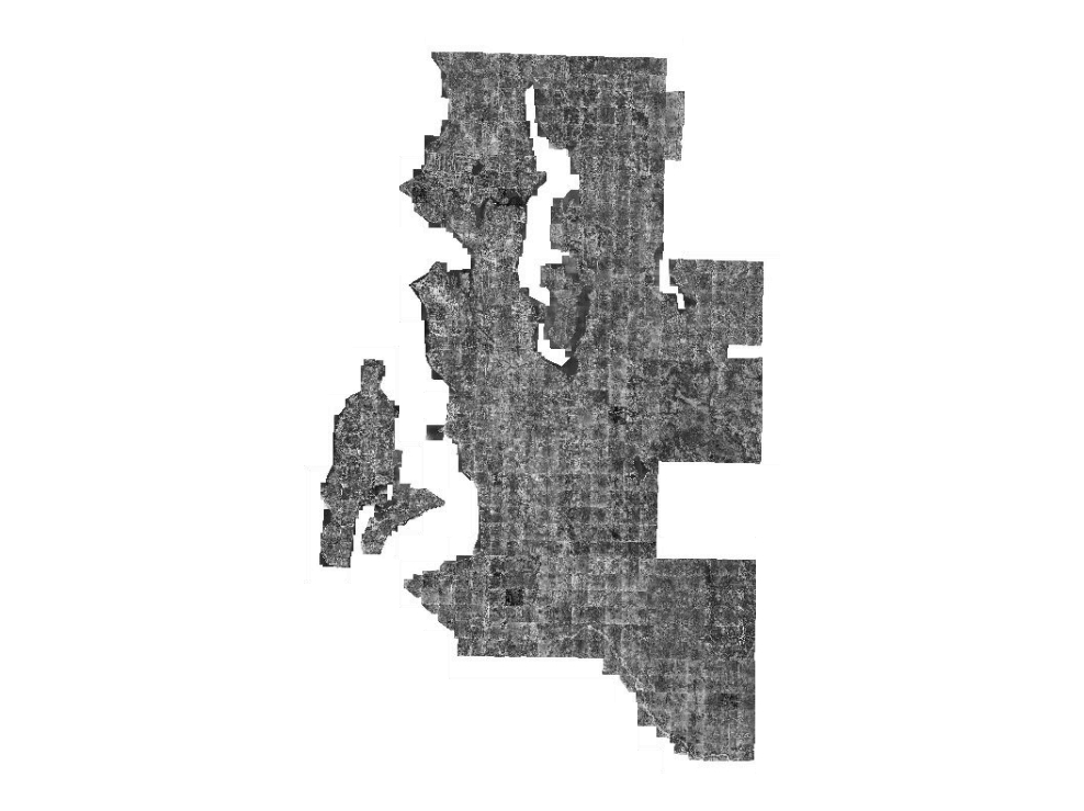
1936 Panchromatic Digital Aerial Imagery for Western King County
Learn how to get an ArcGIS Online account 🗺
Use this Data
|
Links
How to use in ArcGIS Pro |
|
| Sharing Status | Not Public |
Summary
Historical comparison and Archiving original documents
Description
1936 aerial imagery for western King County from scanned 3 foot by 3 foot prints (boards 0.5 in pixels resampled to 1 foot).
Layer information
| Layer Name | IMAGE_Ortho1936KCPAN |
| Subject Category | Imagery |
| Title | 1936 Panchromatic Digital Aerial Imagery for Western King County |
| Feature Count | 1 |
| Feature Type | Raster |
| Next Update | None planned |
| Spatial reference | EPSG:102748 |
| Control ID | None |
| Place Keywords | Washington State, King County; WA, United States, Pacific NW |
| Theme Keywords | Orthophotography, Orthoimagery, Imagerybasemapsearthcover |
| Supplemental Information |
None |
Attribute information
|
OBJECTID
From Esri |
Description
Internal feature number. DomainSequential unique whole numbers that are automatically generated. |
|
Shape
From Esri |
Description
Feature geometry. DomainCoordinates defining the features. |
|
Shape_Length
From Esri |
Description
Length of feature in internal units. DomainPositive real numbers that are automatically generated. |
|
Shape_Area
From Esri |
Description
Area of feature in internal units squared. DomainPositive real numbers that are automatically generated. |
|
MosaicID
No Source Noted |
Description
Not Found DomainNot Found |
Contact information
| Maintained by | KCGIS Center |
| Primary |
KCGIS Center
giscenter@kingcounty.gov |
Terms of Use
| License | Terms of use and copyright |
Use this Data
|
Links
How to use in ArcGIS Pro |
|
| Sharing Status | Not Public |
Summary
Historical comparison and Archiving original documents
Description
1936 aerial imagery for western King County from scanned 3 foot by 3 foot prints (boards 0.5 in pixels resampled to 1 foot).
Contact information
| Maintained by | KCGIS Center |
| Primary |
KCGIS Center
giscenter@kingcounty.gov |
Terms of use and copyright
| License | Terms of use and copyright |
Change history
| 5/1/2007 |
7500 tiles were assembled and compressed at 15x into MrSid Generation 3 mosaics for the two zone tiles, znw_36p100.sid and zsw_36p100.sid. |
| 5/1/2007 |
Entire set of 7500 tiles were assembled and mosaiced into Generation 3 MrSid mosaic as reg_36p100.sid. This mosaic was compressed at 30x. |
| 5/1/2007 |
7500 tiles delivered to enterprise Spatial Data Warehouse. Scripts used to assemble the correct set of 7500 tiles for each township-range tile. MrSid v5 used to compress TIFF files into township-range mosaics as Generation 3 sids at 7x compression. |
| 2/1/2007 |
Mosaiced section scans into King County 7500' tiling sceme |
| 9/1/2006 |
Scanned 3'x3' aerial section prints using a Xerox 8830 scanner (200 dpi) into a uncompressed TIFF format. The original 0.5 foot pixel resolution was resampled to 1 foot pixel. |
| Update 6 |
Georeferenced section scans using KCMonument, t-net, hydro, parcels and PLSS layers for heads-up referencing |