
GIS Data Catalog
1996 Digital Orthophotos of the Puget Sound Region
Learn more by reading the GIS FAQ 🗺
Summary
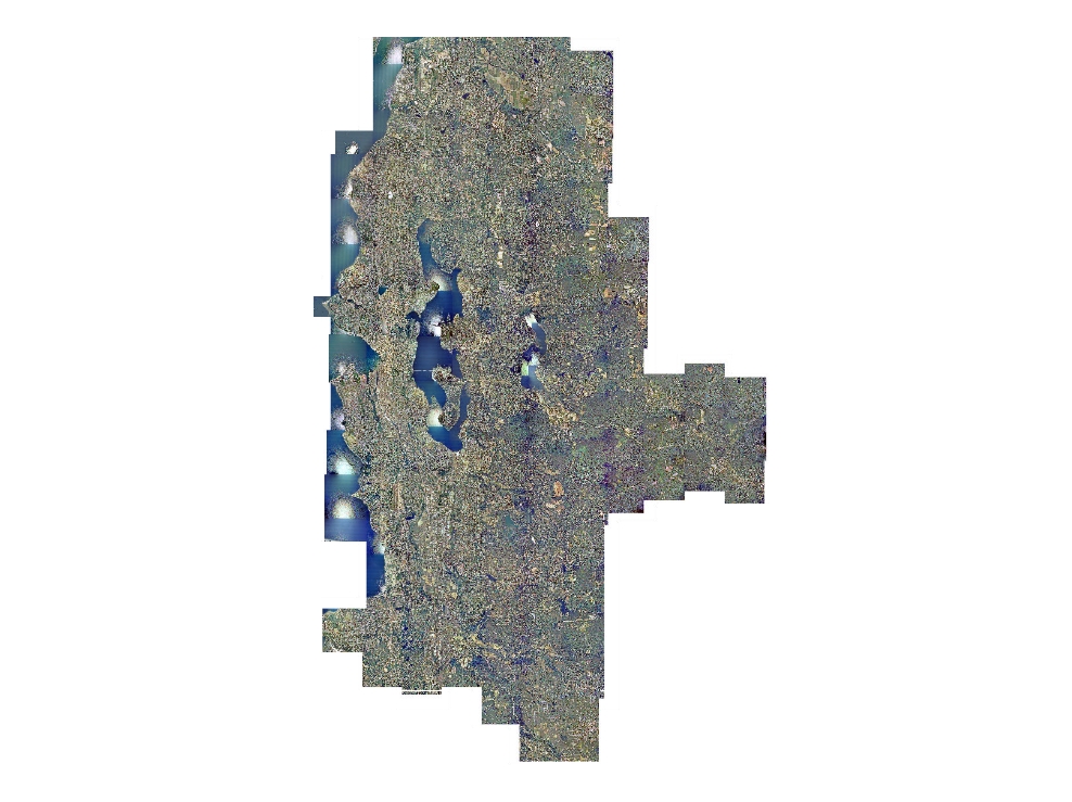
Archival orthophotos for the western King County area.
Description
One-meter natural color orthophotography for the western, urbanized, portion of King County and portions of adjoining counties.
The eastern boundary is defined by a line running north-south through the North Bend area.
Layer information
| Layer Name | IMAGE_Ortho1996NIESNAT |
| Subject Category | Imagery |
| Title | 1996 Digital Orthophotos of the Puget Sound Region |
| Feature Count | 1 |
| Feature Type | Raster |
| Next Update | None planned |
| Spatial reference | None |
| Control ID | None |
| Place Keywords | WA, Pacific NW, Southwestern Snohomish County, Washington State, King County |
| Theme Keywords | Imagerybasemapsearthcover, Orthophotography, Natural Color Orthoimagery, Orthophotos |
| Supplemental Information |
Original data was provided by the Originator in their tiling scheme. Data was retiled to standard tiling scheme for King County. Data is available as TIFF and JPG2 compressed versions. TIFF format data is available only at the base tiling level - idxp7500 - defined by a rectangular grid of cells with x-y dimensions of 7500 feet. Primary user data is provided at second tier tiling level - idxptrmbr. This tiling level references the PLSS township-range grid with tiles buffered to a minimum-bounding rectangle of the township. Imagery at this level is provided only as compressed (compression ratio = 7, near lossless) imagery in JPG2000 format. Imagery is also available as larger area mosaics at the idxpzone level (if appropriate) and as a highly compressed entire area of interest mosaic. Both the zone and entire area mosaic, called key region, is provided only as JP2 images. |
Attribute information
|
OBJECTID
From Esri |
Description
Internal feature number. DomainSequential unique whole numbers that are automatically generated. |
|
Shape
From Esri |
Description
Feature geometry. DomainCoordinates defining the features. |
|
Shape_Length
From Esri |
Description
Length of feature in internal units. DomainPositive real numbers that are automatically generated. |
|
Shape_Area
From Esri |
Description
Area of feature in internal units squared. DomainPositive real numbers that are automatically generated. |
|
MosaicID
No Source Noted |
Description
Not Found DomainNot Found |
Contact information
| Maintained by | KCGIS Center |
| Primary |
KCGIS Center
giscenter@kingcounty.gov |
Terms of Use
| License | Terms of use and copyright |
Summary
Archival orthophotos for the western King County area.
Description
One-meter natural color orthophotography for the western, urbanized, portion of King County and portions of adjoining counties.
The eastern boundary is defined by a line running north-south through the North Bend area.
Contact information
| Maintained by | KCGIS Center |
| Primary |
KCGIS Center
giscenter@kingcounty.gov |
Terms of use and copyright
| License | Terms of use and copyright |
Change history
| 1/1/1996 |
CONTROL Control was a combination of new airborne and ground based GPS along with exitsing survey databases. The primary control in turn was densified into a secondary control network by photogrammetric and aerotriangulation methods. DIGITAL ELEVATION DATA The DEM data, which is a series of {x,y,z} points within the area, was provided by USGS from existing 1:24000 scale 7 1/2 minute quads. This data was provided so that the orthophotos could be rectified to meet the 1:20000 map scale accuracy. ORTHOPHOTO RECTIFICATION The diapositives were scanned and converted to digital images using a Zeiss/Intergraph PS-1 Linear Array scanner at a sample rate of 30 microns (846 dpi). The scanning produced a raw ground image pixel of nominally 0.9 meters in size. These digital images were oriented using the above mentioned control and rectified to remove distortions caused by variations in terrain elevation and perspective geometry. During the rectification process the image pixels were resampled using the cubic convolution algorithm to a one meter resolution. The final geo-referenced orthophotos have the same accuracy as a 1:20000 map. The reference system used for this project was the State Plane North Zone NAD 83 - 91. |
| 1/1/1996 |
THE SOURCE PHOTOGRAPHY The color aerial photography was taken with a Zeiss RMK/A 15/23 camera with forward motion compensation and mounted in a turbo / charged Cessna 206. It was flown in June and July 1996. The altitude of the aircraft, 15,000 feet above mean ground, provided photography at a nominal scale of 1:30000. The film used was AGFA P200. From this film, diapositives were produced on Kodak Vericolor Print Film 4111 (ESTAR Thick Base) using an electronic auto-dodge contact printer with a color light source. Auto-dodging automatically compensates for changes in light conditions typically found between flight lines or within independent photo frames along a flight line. The quality and amount of information on these diapositives is far superior to that obtainable on paper prints. These diapositives were scanned as a part of the process in creating our digital orthophotos. |