
GIS Data Catalog
1998 Washington Department of Natural Resources (WADNR) 3-foot panchromatic orthophotography
Learn more by reading the GIS FAQ 🗺
Summary
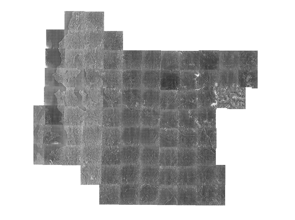
Archival orthophotos for King County and some adjoining County areas.
Coverage for King County is complete except for some ommissions in the eastern portion of King County.
Description
Three-foot panchromatic (black & white) orthophotography obtained from the Washington State Department of Natural Resources
Layer information
| Layer Name | IMAGE_Ortho1998WADNRPAN |
| Subject Category | Imagery |
| Title | 1998 Washington Department of Natural Resources (WADNR) 3-foot panchromatic orthophotography |
| Feature Count | 1 |
| Feature Type | Raster |
| Spatial reference | None |
| Control ID | None |
| Place Keywords | WA, Washington State, King County, Pacific NW |
| Theme Keywords | Imagerybasemapsearthcover, Panchromatic Orthoimagery, Black And White Orthophotography, Orthophotography |
| Supplemental Information |
In 1995, the Washington State Department of Natural Resources Division of Engineering, Resource Mapping Section, contracted for an aerial photo survey of King County and other northwest Washington counties. The photos were taken from a flying height of 12,000 feet above average terrain level using a calibrated metric aerial camera with a 12-inch focal length yielding photos at a scale of 1:12000 (1 inch = 1000 feet). Acquisition period was Summer, 1998. Individual frame or tile acquisition dates are not available. Data points for portion of the original flight index with limited attributes regarding the metadata for the individual photos can be found in: "< https://www5.kingcounty.gov/sdc/raster/ortho/Ortho1998WADNRPanPhotoIndex.xls >" Original data was provided by the Originator in their tiling scheme. Data was retiled to standard tiling scheme for King County. Data is available as TIFF and JPG2 compressed versions. TIFF format data is available only at the base tiling level - idxp7500 - defined by a rectangular grid of cells with x-y dimensions of 7500 feet. Primary user data is provided at second tier tiling level - idxptrmbr. This tiling level references the PLSS township-range grid with tiles buffered to a minimum-bounding rectangle of the township. Imagery at this level is provided only as compressed (compression ratio = 7, near lossless) imagery in JPG2000 format. Imagery is also available as larger area mosaics at the idxpzone level (if appropriate) and as a highly compressed entire area of interest mosaic. Both the zone and entire area mosaic, called key region, is provided only as JP2 images. |
Attribute information
|
OBJECTID
From Esri |
Description
Internal feature number. DomainSequential unique whole numbers that are automatically generated. |
|
Shape
From Esri |
Description
Feature geometry. DomainCoordinates defining the features. |
|
Shape_Length
From Esri |
Description
Length of feature in internal units. DomainPositive real numbers that are automatically generated. |
|
Shape_Area
From Esri |
Description
Area of feature in internal units squared. DomainPositive real numbers that are automatically generated. |
|
MosaicID
No Source Noted |
Description
Not Found DomainNot Found |
Contact information
| Maintained by | KCGIS Center |
| Primary |
KCGIS Center
giscenter@kingcounty.gov |
Terms of Use
| License | Terms of use and copyright |
Summary
Archival orthophotos for King County and some adjoining County areas.
Coverage for King County is complete except for some ommissions in the eastern portion of King County.
Description
Three-foot panchromatic (black & white) orthophotography obtained from the Washington State Department of Natural Resources
Contact information
| Maintained by | KCGIS Center |
| Primary |
KCGIS Center
giscenter@kingcounty.gov |
Terms of use and copyright
| License | Terms of use and copyright |