
GIS Data Catalog
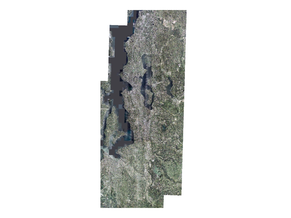
2002 USGS High Resolution Orthoimage, Seattle and Tacoma, WA
Learn more by reading the GIS FAQ 🗺
Summary
To produce colour orthoimagery of the Seattle/Tacoma Area
Description
USGS High Resolution Orthoimage
Layer information
| Layer Name | IMAGE_Ortho2002USGSNAT |
| Subject Category | Imagery |
| Title | 2002 USGS High Resolution Orthoimage, Seattle and Tacoma, WA |
| Feature Count | 1 |
| Feature Type | Raster |
| Spatial reference | None |
| Control ID | None |
| Place Keywords | OR, WA, Seattle/Tacoma Area |
| Theme Keywords | |
| Supplemental Information | None |
Attribute information
|
OBJECTID
From Esri |
Description
Internal feature number. DomainSequential unique whole numbers that are automatically generated. |
|
Shape
From Esri |
Description
Feature geometry. DomainCoordinates defining the features. |
|
Shape_Length
From Esri |
Description
Length of feature in internal units. DomainPositive real numbers that are automatically generated. |
|
Shape_Area
From Esri |
Description
Area of feature in internal units squared. DomainPositive real numbers that are automatically generated. |
|
MosaicID
No Source Noted |
Description
Not Found DomainNot Found |
Contact information
| Maintained by | KCGIS Center |
| Primary |
KCGIS Center
giscenter@kingcounty.gov |
Terms of Use
| License | Terms of use and copyright |
Summary
To produce colour orthoimagery of the Seattle/Tacoma Area
Description
USGS High Resolution Orthoimage
Contact information
| Maintained by | KCGIS Center |
| Primary |
KCGIS Center
giscenter@kingcounty.gov |
Terms of use and copyright
| License | Terms of use and copyright |
Change history
| 2/14/2003 |
The horizontal accuracy of the orthorectified imagery is primarily determined by the quality of the Aerial Triangulation solution and the surface model (DEM). The AT process was initiated with the population of the Z/I project files with AGPS, ground survey, and project parameters which are prerequisite to initialization of ISAT. Upon completion of ISAT, a free-net adjustment was run to check for image blunders and poor image ties. Tie points were then corrected/added, ground control was measured, and the adjustment was run with the AGPS and ground control. QC of the adjustment was performed by withholding select ground control points. AT was finalized by densifying the control and performing relative and absolute orientations (RO and AO) for each model. The generation of the surface model was started with an ISAE test run of two models to establish and confirm the parameters for application to the automatic DEM modeling process. For this project, the software was instructed to model flat terrain and perform a high level of data smoothing. This ensured that the majority of the generated points modeled the actual terrain. Each stereo model was then reviewed, DEM points were edited and/or deleted, and breaklines were added, as required, to eliminate smearing and meet orthophoto accuracy standards. Orthorectifications were performed on only the core portion of each image in order to minimize inherent horizontal displacement that occurs radially from the photocenter. All orthophoto tiles were checked visually for relative horizontal accuracy in reference to adjacent tiles. Orthophoto measurements were taken for 41 horizontal ground control points in the project area. An RMSE was calculated for the XY error residuals of the positional differences between the surveyed values and the values measured from the rectified imagery. |
| Update 2 |
King County reprojected the image files to WA State Plane North, NAD83/91 (HPGN) datum. The data was then retiled to the standard King County tiling scheme for raster data. The township-range tiles were compressed into JP2 format. |