
GIS Data Catalog
2013 King County (Pictometry) Orthogonal Base Imagery - 4 inch (west) and 9 inch (east)
Learn how to get an ArcGIS Online account 🗺
Use this Data
|
Links
How to use in ArcGIS Pro |
|
| Sharing Status | Not Public |
Summary
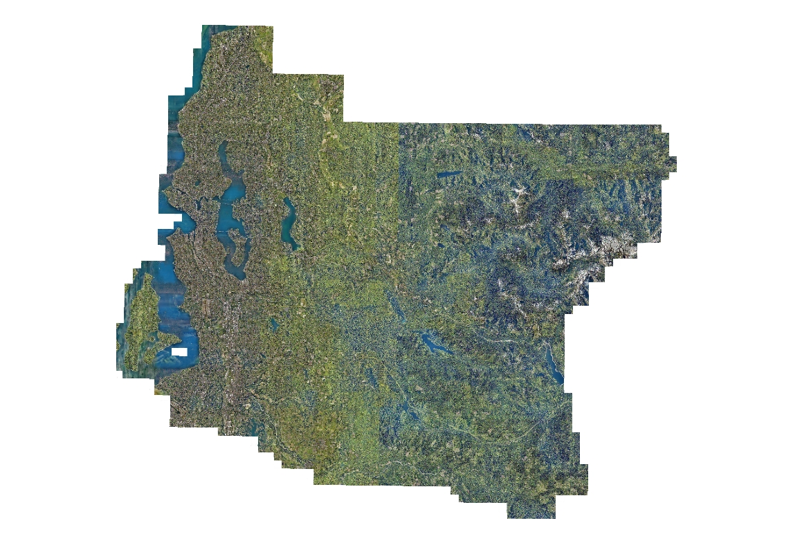
Color imagery mosaic for King County and portions of adjoining counties.
This ortho-mosaic is a visualization product and is not intended or valid for authoritative or definitive use.
Portion of larger Pictometry package that contains their proprietary oblique and orthogonal view imagery for the same project area.
Description
2013 King County natural color orthogonal magery acquired by Pictometry for internal business and agency use only.
Pixel resolution is 0.75 foot GSD in rural (east) King County and 0.33 foot GSD in urbanized (west) King County.
Higher resolution data includes portion of southwestern Snohomish County, the Highway 2 corridor in northeast King County and the Apenal area near Snoqualmie Pass.
The 0.75 foot data is also known as Neighborhood-level imagery whereas the 0.33 foot data is known as Community-level imagery.
Layer information
| Layer Name | IMAGE_Ortho2013KCNAT |
| Subject Category | Imagery |
| Title | 2013 King County (Pictometry) Orthogonal Base Imagery - 4 inch (west) and 9 inch (east) |
| Feature Count | 1 |
| Feature Type | Raster |
| Next Update | None planned |
| Spatial reference | EPSG:102748 |
| Control ID | None |
| Place Keywords | Southwestern Snohomish County, Washington State, United States, Pacific NW, King County; WA |
| Theme Keywords | Imagery, Imagerybasemapsearthcover, Orthogonal Base, Natural Color Imagery |
| Supplemental Information |
To correctly determine the acquistion date and time for an area you need to use the spatial indexes - OBLIQUE_IMAGE13_AREA and ORTHO_IMAGE13_AREA. |
Attribute information
|
OBJECTID
From Esri |
Description
Internal feature number. DomainSequential unique whole numbers that are automatically generated. |
|
Shape
From Esri |
Description
Feature geometry. DomainCoordinates defining the features. |
|
Shape_Length
From Esri |
Description
Length of feature in internal units. DomainPositive real numbers that are automatically generated. |
|
Shape_Area
From Esri |
Description
Area of feature in internal units squared. DomainPositive real numbers that are automatically generated. |
|
MosaicID
No Source Noted |
Description
Not Found DomainNot Found |
Contact information
| Maintained by | KCGIS Center |
| Primary |
KCGIS Center
giscenter@kingcounty.gov |
Terms of Use
| License | Terms of use and copyright |
Use this Data
|
Links
How to use in ArcGIS Pro |
|
| Sharing Status | Not Public |
Summary
Color imagery mosaic for King County and portions of adjoining counties.
This ortho-mosaic is a visualization product and is not intended or valid for authoritative or definitive use.
Portion of larger Pictometry package that contains their proprietary oblique and orthogonal view imagery for the same project area.
Description
2013 King County natural color orthogonal magery acquired by Pictometry for internal business and agency use only.
Pixel resolution is 0.75 foot GSD in rural (east) King County and 0.33 foot GSD in urbanized (west) King County.
Higher resolution data includes portion of southwestern Snohomish County, the Highway 2 corridor in northeast King County and the Apenal area near Snoqualmie Pass.
The 0.75 foot data is also known as Neighborhood-level imagery whereas the 0.33 foot data is known as Community-level imagery.
Contact information
| Maintained by | KCGIS Center |
| Primary |
KCGIS Center
giscenter@kingcounty.gov |
Terms of use and copyright
| License | Terms of use and copyright |
Change history
| 3/14/2014 |
Pictometry provided their orthogonal tiles in two folders: 4 inch and 9 inch, both in JPG format. The 4-inch tiles are 2700 feet on edge and the 9 inch tiles are 5400 feet on edge. A python routine was created to mosaic the tiles into new 7500x7500-foot tiles in MrSid format. The compression was lossless. 7500 tiles comprised of all 4-inch tiles were named 'grid-cell'_13n033.sid, while those in the 9-inch area were named 'grid-cell'_13n075.sid. When a 7500 grid cell spanned both 4-inch and 9-inch input tiles, the tile was assinged the higher resolution suffix - 033, These tiles were published to the King County GIS production server. A esri Mosaic Dataset was created. |