
GIS Data Catalog
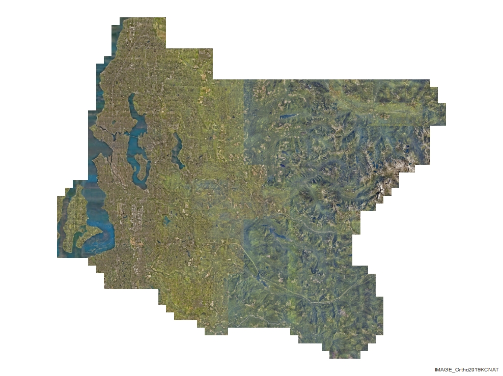
2019 King County (Pictometry) Orthogonal Base Imagery - 3 inch (west) and 9 inch (east)
Learn how to get an ArcGIS Online account 🗺
Use this Data
|
Links
How to use in ArcGIS Pro |
|
| Sharing Status | Not Public |
Summary
This ortho-mosaic is a visualization product and is not intended or valid for authoritative or definitive use, nor is it suitable for submittal to the USGS for funding reimbursement in such programs.
Description
The dataset consists of tiled orthogonal imagery produced from nadir images captured by Pictometry International.
Layer information
| Layer Name | IMAGE_Ortho2019KCNAT |
| Subject Category | Imagery |
| Title | 2019 King County (Pictometry) Orthogonal Base Imagery - 3 inch (west) and 9 inch (east) |
| Feature Count | 1 |
| Feature Type | Raster |
| Next Update | Biannually |
| Spatial reference | EPSG:102748 |
| Control ID | None |
| Place Keywords | None |
| Theme Keywords | Pictometry Standard |
| Supplemental Information | None |
Attribute information
|
OBJECTID
From Esri |
Description
Internal feature number. DomainSequential unique whole numbers that are automatically generated. |
|
Shape
From Esri |
Description
Feature geometry. DomainCoordinates defining the features. |
|
Shape_Length
From Esri |
Description
Length of feature in internal units. DomainPositive real numbers that are automatically generated. |
|
Shape_Area
From Esri |
Description
Area of feature in internal units squared. DomainPositive real numbers that are automatically generated. |
|
MosaicID
No Source Noted |
Description
Not Found DomainNot Found |
Contact information
| Maintained by | KCGIS Center |
| Primary |
KCGIS Center
giscenter@kingcounty.gov |
Terms of Use
| License | Terms of use and copyright |
Use this Data
|
Links
How to use in ArcGIS Pro |
|
| Sharing Status | Not Public |
Summary
This ortho-mosaic is a visualization product and is not intended or valid for authoritative or definitive use, nor is it suitable for submittal to the USGS for funding reimbursement in such programs.
Description
The dataset consists of tiled orthogonal imagery produced from nadir images captured by Pictometry International.
Contact information
| Maintained by | KCGIS Center |
| Primary |
KCGIS Center
giscenter@kingcounty.gov |
Terms of use and copyright
| License | Terms of use and copyright |
Change history
| 2/20/2020 |
GPS/INS processing: Data was post-processed using NGS CORS base station data. |
| 2/20/2020 |
Mosaicing: Mosaicing was performed using ESRI software |