
GIS Data Catalog
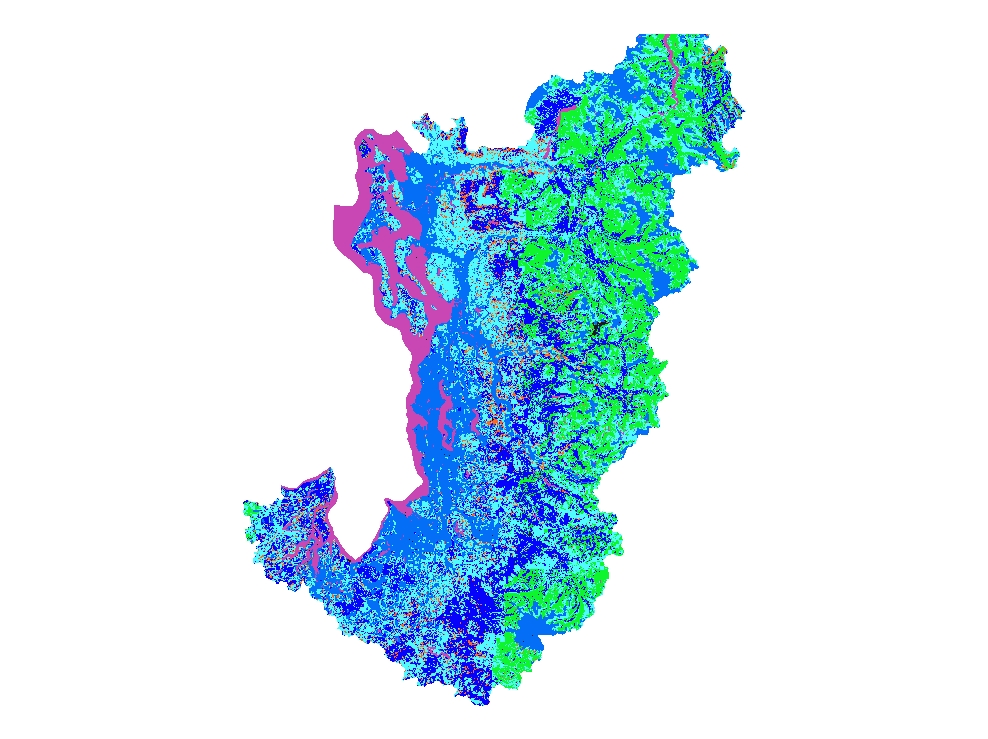
1988 Canopy Cover for Western King and Pierce County
Learn more by reading the GIS FAQ 🗺
Summary
The original canopy coverages were produced by Pacific Meridian Resources under a contractual agreement.
They provided canopy cover information for WA State Forest lands; dividied into separate layers by WRIA.
1988 Landsat/TM imagery was used to classify crown closure and a 1976 USGS digital Land Use/Land Cover was added to provide non-forest land information.
A separate Arc/Info vector cover was created for every WRIA area.
Covers King; Pierce; Kitsap and Snohomish counties
Description
Western Washington forest canopy cover interpreted for seral stage using 1988 and 1991 Landsat imagery and other ancillary data
Layer information
| Layer Name | LANDCOVER_WesternWashingtonForestCanopy1988to1991 |
| Subject Category | Imagery |
| Title | 1988 Canopy Cover for Western King and Pierce County |
| Feature Count | 1 |
| Feature Type | Raster |
| Spatial reference | None |
| Control ID | None |
| Place Keywords | None |
| Theme Keywords | Enviro, Natural Resoures, None |
| Supplemental Information | None |
Attribute information
|
OBJECTID
From ESRI |
Description
Internal feature number. DomainSequential unique whole numbers that are automatically generated. |
|
SHAPE
From ESRI |
Description
Feature geometry. DomainCoordinates defining the features. |
|
Shape_Length
From Esri |
Description
Length of feature in internal units. DomainPositive real numbers that are automatically generated. |
|
Shape_Area
From Esri |
Description
Area of feature in internal units squared. DomainPositive real numbers that are automatically generated. |
|
MosaicID
No Source Noted |
Description
Not Found DomainNot Found |
Contact information
| Maintained by | KCGIS Center |
| Primary |
KCGIS Center
giscenter@kingcounty.gov |
Terms of Use
| License | Terms of use and copyright |
Summary
The original canopy coverages were produced by Pacific Meridian Resources under a contractual agreement.
They provided canopy cover information for WA State Forest lands; dividied into separate layers by WRIA.
1988 Landsat/TM imagery was used to classify crown closure and a 1976 USGS digital Land Use/Land Cover was added to provide non-forest land information.
A separate Arc/Info vector cover was created for every WRIA area.
Covers King; Pierce; Kitsap and Snohomish counties
Description
Western Washington forest canopy cover interpreted for seral stage using 1988 and 1991 Landsat imagery and other ancillary data
Contact information
| Maintained by | KCGIS Center |
| Primary |
KCGIS Center
giscenter@kingcounty.gov |
Terms of use and copyright
| License | Terms of use and copyright |