
GIS Data Catalog
Boundary
Learn how to get an ArcGIS Online account 🗺
Use this Data
|
Links
How to use in ArcGIS Pro |
|
| Sharing Status | Not Public |
Summary
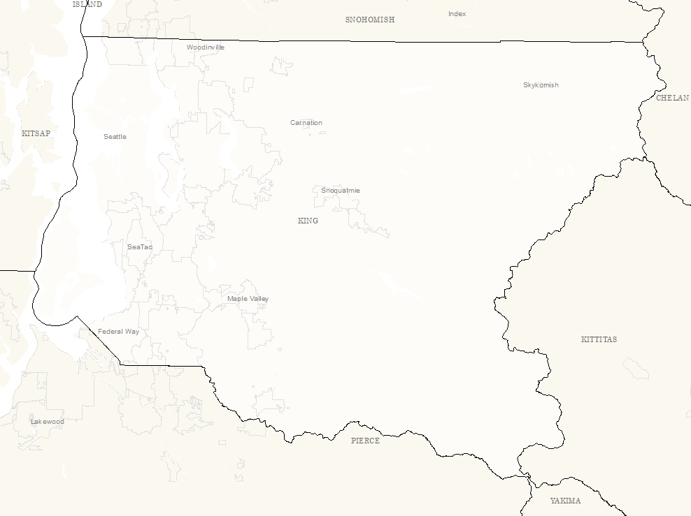
The boundary layer provides sub-parcel detail regarding the extent and makeup of a parcel.
It is a graphical representation of parcel boundaries and other entities and should not be usef for surveying purposes.
Description
Boundary contains features that can be used to graphically document the boundaries of tax parcels.
The layer contains lines describing parcels, rights of way, lots, hydro, plats, easements, surveys, short plats and other features used to construct cadastral features.
Layer information
| Layer Name | boundary_line |
| Subject Category | Property |
| Title | Boundary |
| Feature Count | 4091526 |
| Feature Type | Table |
| Next Update | Weekly |
| Spatial reference | EPSG:2926 |
| Control ID | 437 |
| Place Keywords | None |
| Theme Keywords | None |
| Supplemental Information |
Boundary type coding is based on a heirerarchical design where a feature may be more than one type of boundary but will generally be coded with the lowest type. |
Attribute information
|
OBJECTID
From ESRI |
Description
Internal feature number. DomainSequential unique whole numbers that are automatically generated. |
|
BOUNDARYTYPE
No Source Noted |
Description
Not Found Domain1 - Control 2 - Right of Way 3 - Plat 4 - Short Plat 5 - Original Short Plat 6 - Parcel 7 - Lot 8 - Easement 9 - Survey 10 - Hydro 11 - Donation Land Claim 12 - Government Lot 13 - Misc 14 - Proposed |
|
DIRECTION
No Source Noted |
Description
Not Found DomainNot Found |
|
DISTANCE
No Source Noted |
Description
Not Found DomainNot Found |
|
DELTA
No Source Noted |
Description
Not Found DomainNot Found |
|
TANGENT
No Source Noted |
Description
Not Found DomainNot Found |
|
ARCLENGTH
No Source Noted |
Description
Not Found DomainNot Found |
|
SIDE
No Source Noted |
Description
Not Found DomainNot Found |
|
EDITDATE
No Source Noted |
Description
Not Found DomainNot Found |
|
Shape
From ESRI |
Description
Feature geometry. DomainCoordinates defining the features. |
|
Shape.STLength()
From SQL Server |
Description
Returns the total length of the elements in a geometry instance. DomainDouble |
Contact information
| Maintained by | Department of Assessments |
| Primary |
Christie Most
christie.most@kingcounty.gov |
Terms of Use
| License | Terms of use and copyright |
Use this Data
|
Links
How to use in ArcGIS Pro |
|
| Sharing Status | Not Public |
Summary
The boundary layer provides sub-parcel detail regarding the extent and makeup of a parcel.
It is a graphical representation of parcel boundaries and other entities and should not be usef for surveying purposes.
Description
Boundary contains features that can be used to graphically document the boundaries of tax parcels.
The layer contains lines describing parcels, rights of way, lots, hydro, plats, easements, surveys, short plats and other features used to construct cadastral features.
Contact information
| Maintained by | Department of Assessments |
| Primary |
Christie Most
christie.most@kingcounty.gov |
Terms of use and copyright
| License | Terms of use and copyright |