
GIS Data Catalog
1994 CPLU Ord. 11575
Learn how to get an ArcGIS Online account 🗺
Use this Data
|
Links
How to use in ArcGIS Pro |
|
| Sharing Status | Not Public |
Summary
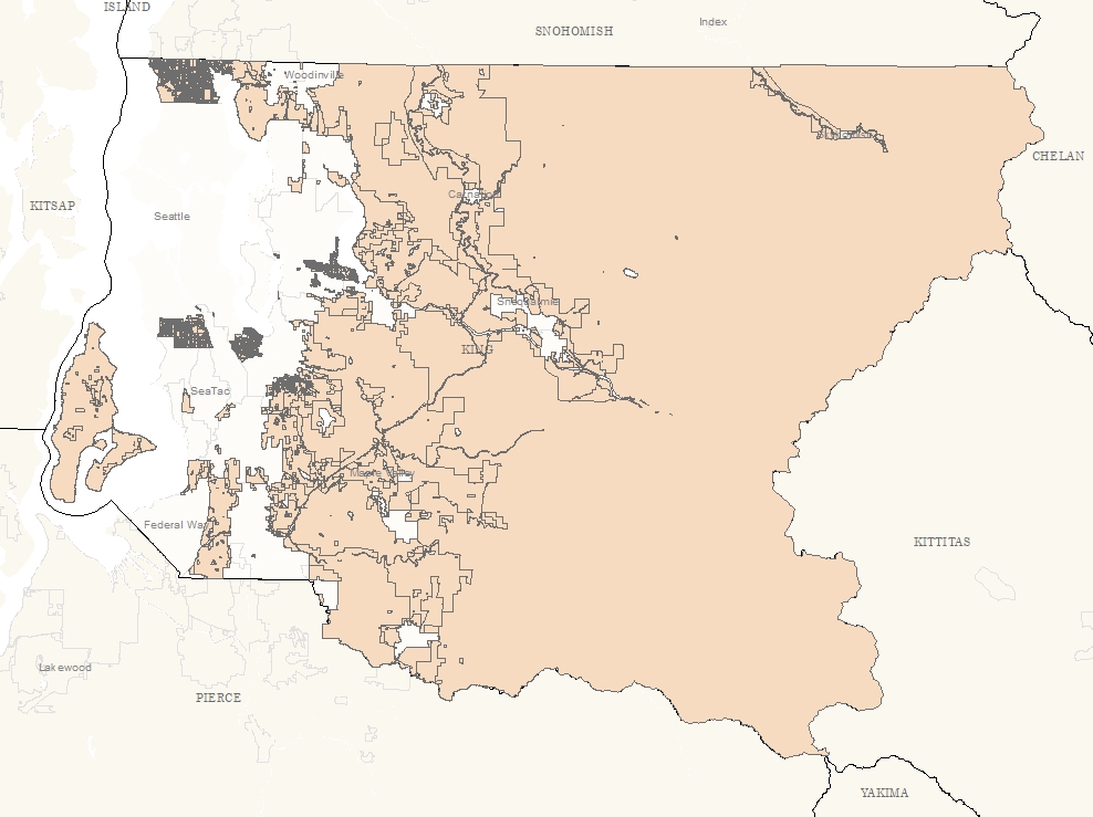
This data layer was created to conflate the 1994 comprehensive plan land use designations to parcel boundaries current in 2016.
This layer establishes the starting point for the comprehensive plan land use designation changes tracked in the Historic Land Use Change Database.
Description
Comprehensive plan land use designations adopted in December 1994 by ordinance #11575 as part of the first comprehensive plan under the Washington Growth Management Act.
This layer establishes the starting point for the comprehensive plan land use designation changes tracked in the Historic Land Use Change Database.
Layer information
| Layer Name | complu_1994_ord_11575_area |
| Subject Category | Planning |
| Title | 1994 CPLU Ord. 11575 |
| Feature Count | 2521 |
| Feature Type | Polygon |
| Spatial reference | EPSG:2926 |
| Control ID | 2905 |
| Place Keywords | Washington State, King County, WA, Pacific NW |
| Theme Keywords | Planning, Planningcadastre |
| Supplemental Information | None |
Attribute information
|
OBJECTID
From Esri |
Description
Internal feature number. DomainSequential unique whole numbers that are automatically generated. |
|
CPLU
From King County |
Description
Not Found Domainac, ag, cb, co, f, gb, i, m, nb, os, rn, rr, rt, rx, uh, ul, um, upd |
|
ModifiedBy
From King County |
Description
Not Found DomainMCCOMBSP, popelkj |
|
DBCreateDate
From King County |
Description
Not Found DomainNot Found |
|
DBModDate
From King County |
Description
Not Found DomainNot Found |
|
Shape
From Esri |
Description
Feature geometry. DomainCoordinates defining the features. |
|
Shape.STArea()
From SQL Server |
Description
Returns the area of a geometry instance in square units, based on the spatial reference identifier (SRID) of the geometry. DomainDouble |
|
Shape.STLength()
From SQL Server |
Description
Returns the total length of the elements in a geometry instance. DomainDouble |
Contact information
| Maintained by | Office of Performance, Strategy and Budget |
| Primary |
Nanette Lowe
nanette.lowe@kingcounty.gov |
Terms of Use
| License | Terms of use and copyright |
Use this Data
|
Links
How to use in ArcGIS Pro |
|
| Sharing Status | Not Public |
Summary
This data layer was created to conflate the 1994 comprehensive plan land use designations to parcel boundaries current in 2016.
This layer establishes the starting point for the comprehensive plan land use designation changes tracked in the Historic Land Use Change Database.
Description
Comprehensive plan land use designations adopted in December 1994 by ordinance #11575 as part of the first comprehensive plan under the Washington Growth Management Act.
This layer establishes the starting point for the comprehensive plan land use designation changes tracked in the Historic Land Use Change Database.
Contact information
| Maintained by | Office of Performance, Strategy and Budget |
| Primary |
Nanette Lowe
nanette.lowe@kingcounty.gov |
Terms of use and copyright
| License | Terms of use and copyright |
Change history
| 4/28/2022 |
1994 ArcINFO coverage as converted to a filebased geodatabase and aligned to modern parcel feature class with reference to 1990s era parcel shapefile and various historic paper references. |