
GIS Data Catalog
Public Benefit Rating System and Timberland Current Use Excluded Areas
Learn how to get an ArcGIS Online account 🗺
Use this Data
|
Links
How to use in ArcGIS Pro |
|
| Sharing Status | Not Public |
Summary
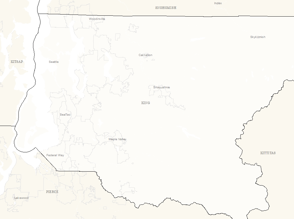
The Public Benefit Rating System (PBRS) and the Timber Land programs provide incentives to encourage landowners to voluntarily conserve and protect land resources, open space and timber.
This layer outlines the areas that are excluded from the protection area (commonly the residence and adjacent land) and do not recieve credit for tax reduction.
Description
Current Use Taxation Program: Public benefit rating system and Timber Land Program parcels areas excluded from the program within those parcels.
Layer information
| Layer Name | cut_pbrsexcludedarea_area |
| Subject Category | Natural Resources |
| Title | Public Benefit Rating System and Timberland Current Use Excluded Areas |
| Feature Count | 1251 |
| Feature Type | Polygon |
| Next Update | As needed |
| Spatial reference | EPSG:2926 |
| Control ID | 2761 |
| Place Keywords | Pacific NW, King County, WA, Washington State |
| Theme Keywords | Natres, Public Benefit, Timberland, Current Use, Conservation, Protection, Environment |
| Supplemental Information |
Attribute information
|
OBJECTID
From Esri |
Description
Internal feature number. DomainSequential unique whole numbers that are automatically generated. |
|
FileNumber
From King County |
Description
PBRS program File Number DomainUnique File Numbes |
|
PIN
From King County |
Description
Parcel Identification Number DomainUnique Parcel Identification Number |
|
OwnerName
From King County |
Description
Owner Name DomainOwner Name |
|
FileNameLoc
From King County |
Description
Unique ID for data processing DomainNEVELLE DIRK+MICHELLE B |
|
ExcludedArea
From King County |
Description
Area Excluded from Program, in acres Domain0.00300158 to 67.70572599 by |
|
IsValidated
From King County |
Description
For Internal Processing DomainNo - No: Definition of code value [No] in CVD wlr_pbrs_yes_no_boolean Yes - Yes: Definition of code value [Yes] in CVD wlr_pbrs_yes_no_boolean |
|
Notes
From King County |
Description
Notes DomainNotes |
|
SHAPE
From Esri |
Description
Feature geometry. DomainCoordinates defining the features. |
|
Shape.STArea()
From SQL Server |
Description
Returns the area of a geometry instance in square units, based on the spatial reference identifier (SRID) of the geometry. DomainDouble |
|
Shape.STLength()
From SQL Server |
Description
Returns the total length of the elements in a geometry instance. DomainDouble |
Contact information
| Maintained by | DNRP - Water and Land Resources |
| Primary |
Harkeerat Kang
Harkeerat.Kang@kingcounty.gov |
Terms of Use
| License | Terms of use and copyright |
Use this Data
|
Links
How to use in ArcGIS Pro |
|
| Sharing Status | Not Public |
Summary
The Public Benefit Rating System (PBRS) and the Timber Land programs provide incentives to encourage landowners to voluntarily conserve and protect land resources, open space and timber.
This layer outlines the areas that are excluded from the protection area (commonly the residence and adjacent land) and do not recieve credit for tax reduction.
Description
Current Use Taxation Program: Public benefit rating system and Timber Land Program parcels areas excluded from the program within those parcels.
Contact information
| Maintained by | DNRP - Water and Land Resources |
| Primary |
Harkeerat Kang
Harkeerat.Kang@kingcounty.gov |
Terms of use and copyright
| License | Terms of use and copyright |
Change history
| 9/14/2018 |
Excluded areas are outlined using aerial photography or by use of field collection on-site. |