
GIS Data Catalog
Farm Pads
Learn how to get an ArcGIS Online account 🗺
Use this Data
|
Links
How to use in ArcGIS Pro |
|
| Sharing Status | Not Public |
Summary
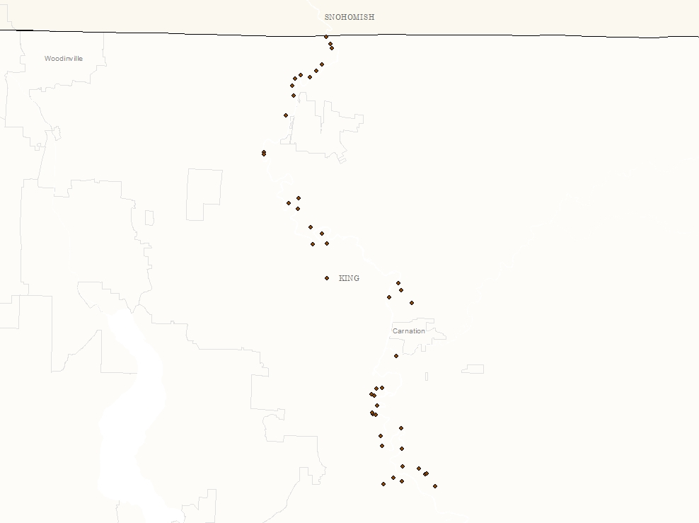
Farm pads are elevated areas for protecting store livestock, farm machinery and other agricultural equipment and supplies during a flood.
Description
Location of farm pads that have been constructed or permitted; all are in the Snoqualmie Valley.
Layer information
| Layer Name | farmpad_point |
| Subject Category | Natural Resources |
| Title | Farm Pads |
| Feature Count | 46 |
| Feature Type | Point |
| Next Update | As needed |
| Spatial reference | EPSG:2926 |
| Control ID | 2746 |
| Place Keywords | Pacific NW, King County, WA, Washington State, Snoqualmie Valley |
| Theme Keywords | Natres, Farming, Livestock, Flood, Agriculture, Farming |
| Supplemental Information |
https://www.kingcounty.gov/services/environment/water-and-land/flooding/farm-pad.aspx |
Attribute information
|
OBJECTID
From Esri |
Description
Internal feature number. DomainSequential unique whole numbers that are automatically generated. |
|
Status
From King County |
Description
Not Found DomainConstructed after 2007, Constructed in 1990s, Permitted after 2007 |
|
Shape
From Esri |
Description
Feature geometry. DomainCoordinates defining the features. |
Contact information
| Maintained by | DNRP - Water and Land Resources |
| Primary |
Harkeerat Kang
Harkeerat.Kang@kingcounty.gov |
Terms of Use
| License | Terms of use and copyright |
Use this Data
|
Links
How to use in ArcGIS Pro |
|
| Sharing Status | Not Public |
Summary
Farm pads are elevated areas for protecting store livestock, farm machinery and other agricultural equipment and supplies during a flood.
Description
Location of farm pads that have been constructed or permitted; all are in the Snoqualmie Valley.
Contact information
| Maintained by | DNRP - Water and Land Resources |
| Primary |
Harkeerat Kang
Harkeerat.Kang@kingcounty.gov |
Terms of use and copyright
| License | Terms of use and copyright |
Change history
| 6/20/2018 |
Points were added by Water and Land Resources Staff, and location verified using aerial photos and hillshade. |