
GIS Data Catalog
2016 Lidar Intensity
Learn more by reading the GIS FAQ 🗺
Summary
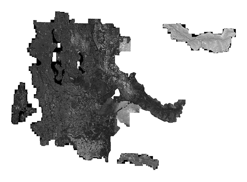
LiDAR return intensity value data for the 2016 King County lidar collection obtained from both the first LiDAR return and from the last LiDAR return.
Original data was delivered as a histogram-balanced TIFF 8-bit single-band image.
Image data is orthorectified being tied to the LiDAR elevation return values and provided in the USGS Topo format.
The 150 represents the approximate resolution of the imagery, in feet.
Current raster format is a losslessly compressed MrSid file.
Description
The intensity information provides a panchromatic image of the return surface at the 1.5 Feet GSD (ground sample distance)/pixel resolution.
Intensity values vary depending from which type of surface the LiDAR reflection is obtained and this translates into a series of tonal differences.
In its balanced image format the data serves mainly as a backdrop providing some reference to current ground surface vegetative state at the time of LiDAR acquisition, though does not provide the same level of detail or definition that a true panchromatic orthophoto would at the same resolution.
The intensity values have easting and northing geographic coordinates for surface location correlation.
Layer information
| Layer Name | IMAGE_LiDARDigitalSurfaceModelIntensity_2016 |
| Subject Category | Imagery |
| Title | 2016 Lidar Intensity |
| Feature Count | 1 |
| Feature Type | Raster |
| Next Update | None planned |
| Spatial reference | None |
| Control ID | None |
| Place Keywords | Washington, King County |
| Theme Keywords | Imagery, Base Maps, Elevation |
| Supplemental Information | None |
Attribute information
|
OBJECTID
From ESRI |
Description
Internal feature number. DomainSequential unique whole numbers that are automatically generated. |
|
Shape
From ESRI |
Description
Feature geometry. DomainCoordinates defining the features. |
|
Shape_Length
From Esri |
Description
Length of feature in internal units. DomainPositive real numbers that are automatically generated. |
|
Shape_Area
From Esri |
Description
Area of feature in internal units squared. DomainPositive real numbers that are automatically generated. |
|
MosaicID
From King County |
Description
Unique 6 digit integer for each dataset DomainInteger is defined as the value of 100000 + a unique four-digit value for these data groups: Elevation, Landcover, Orthoimagery and other imagery/scans (e.g., topographic maps) . The four-digit value has defined ranges depending on the data group: Elevation data: 1000's, Landcover data: 2000's, Orthoimagery data: 3000's, and OtherImagery data: 4000's. For Other types of datasets, primarily satellite imagery, a variation is used. For datasets in this group, the integer is 100000 + a unique five-digit integer. This five-digit integer is defined as YYYY# where YYYY is the year of the satellite imagery and # is a sequential integer, starting with '1', that represents the first in a series for the same year. Nominally the smaller the one-digit integer the earlier in the year the imagery. |
Contact information
| Maintained by | KCGIS Center |
| Primary |
KCGIS Center
giscenter@kingcounty.gov |
Terms of Use
| License | Terms of use and copyright |
Summary
LiDAR return intensity value data for the 2016 King County lidar collection obtained from both the first LiDAR return and from the last LiDAR return.
Original data was delivered as a histogram-balanced TIFF 8-bit single-band image.
Image data is orthorectified being tied to the LiDAR elevation return values and provided in the USGS Topo format.
The 150 represents the approximate resolution of the imagery, in feet.
Current raster format is a losslessly compressed MrSid file.
Description
The intensity information provides a panchromatic image of the return surface at the 1.5 Feet GSD (ground sample distance)/pixel resolution.
Intensity values vary depending from which type of surface the LiDAR reflection is obtained and this translates into a series of tonal differences.
In its balanced image format the data serves mainly as a backdrop providing some reference to current ground surface vegetative state at the time of LiDAR acquisition, though does not provide the same level of detail or definition that a true panchromatic orthophoto would at the same resolution.
The intensity values have easting and northing geographic coordinates for surface location correlation.
Contact information
| Maintained by | KCGIS Center |
| Primary |
KCGIS Center
giscenter@kingcounty.gov |
Terms of use and copyright
| License | Terms of use and copyright |