
GIS Data Catalog
2000 Emerge Natural Color Derivative Aerial Photography
Learn more by reading the GIS FAQ 🗺
Summary
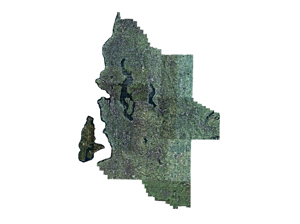
This image dataset comprises 373 individual image tiles stored in TIFF format that can be displayed as a single seamless mosaic.
The images were converted from original 'False Color" near-infrared format to a natural color derivative.
The imagery, within the horizontal accuracy and resolution limitations, serves as digital backdrop imagery for GIS and cartographic display.
In particular, the absolute and relative horizontal accuracy should be carefully considered when either determining coordinate positions or when applying the data relative to other spatial datasets.
Description
Low elevation, high resolution (i.e., small ground-sample-distance (GSD)) aerial photography collected in lat spring to early fall 2000 for western King County and southwestern Snohomish County.
The data has a pixel size of 2 feet and is displayed in a natural color derivative for visual analysis
Layer information
| Layer Name | IMAGE_Ortho2000EmergeNAT |
| Subject Category | Imagery |
| Title | 2000 Emerge Natural Color Derivative Aerial Photography |
| Feature Count | 1 |
| Feature Type | Raster |
| Next Update | None planned |
| Spatial reference | None |
| Control ID | None |
| Place Keywords | WA (West), WA (Southwest), Snohomish County, Washington, King County, WA, Seattle, Pacific Northwest |
| Theme Keywords | Space Imaging, Aerial Photography, Natural Color Imagery, Emerge, Imagerybasemapsearthcover |
| Supplemental Information |
The images were created by converting original 'False Color' near-infrared TIFF images to a natural color derivative. It is considered a natural color derivative rather than a true natural color product as the original data is limited to 3-bands only, omitting the blue band. An algorithm was applied to the original data to closely mimic a natural color image. The images may be accessed as individual TIFF file by tile, as a pseudo-mosaic by using the associated image catalog dbase (emerge_nat.dbf) file, where supported, or as a single MrSid mosaic (emerge_nat.sid), where supported. Detailed photodate information is not available. A general overview at the township-level for data capture dates can interpolated from https://www5.kingcounty.gov/sdc/raster/ortho/images/ortho2000emergegeneralflightdate.jpg |
Attribute information
|
OBJECTID
From Esri |
Description
Internal feature number. DomainSequential unique whole numbers that are automatically generated. |
|
Shape
From Esri |
Description
Feature geometry. DomainCoordinates defining the features. |
|
Shape_Length
From Esri |
Description
Length of feature in internal units. DomainPositive real numbers that are automatically generated. |
|
Shape_Area
From Esri |
Description
Area of feature in internal units squared. DomainPositive real numbers that are automatically generated. |
|
MosaicID
No Source Noted |
Description
Not Found DomainNot Found |
Contact information
| Maintained by | KCGIS Center |
| Primary |
KCGIS Center
giscenter@kingcounty.gov |
Terms of Use
| License | Terms of use and copyright |
Summary
This image dataset comprises 373 individual image tiles stored in TIFF format that can be displayed as a single seamless mosaic.
The images were converted from original 'False Color" near-infrared format to a natural color derivative.
The imagery, within the horizontal accuracy and resolution limitations, serves as digital backdrop imagery for GIS and cartographic display.
In particular, the absolute and relative horizontal accuracy should be carefully considered when either determining coordinate positions or when applying the data relative to other spatial datasets.
Description
Low elevation, high resolution (i.e., small ground-sample-distance (GSD)) aerial photography collected in lat spring to early fall 2000 for western King County and southwestern Snohomish County.
The data has a pixel size of 2 feet and is displayed in a natural color derivative for visual analysis
Contact information
| Maintained by | KCGIS Center |
| Primary |
KCGIS Center
giscenter@kingcounty.gov |
Terms of use and copyright
| License | Terms of use and copyright |