
GIS Data Catalog
2001 Landsat TM Change Detection: Forest Cover Loss
Learn more by reading the GIS FAQ 🗺
Summary
The landcover interpretation was created to provide an up-to-date landcover interpretation for the project area.
The classification scheme was devised considering various county-wide mandates affecting multiple departments.
Primary drivers for the classification schema and effort are implementation of Endangered Species Act mandates, buildable lands definition and sensitive areas mitigation.
This landcover change detection was created by Marshall and Associates, Inc. as part of a multiple part effort to interpret impervious surface categories from high-resolution multispectral imagery.
Description
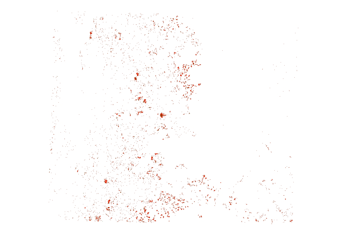
Data set is a 1994 to 2001 landcover change interpretation derived from Landsat TM scenes.
The source scene row/path was Path 46, Row 27.
The scenes were clipped to a bounding box that encompassed the extent of King County and Southwestern Snohomish County, WA with a minimum of a 12 km buffer from the project boundary..
Two separate grids were produced, one grid depicting all grid cells changed from any landcover class (except impervious) to Urban/Impervious surface, i.e. this product shows growth of impervious surfaces (lcchg_imp) and one depicting all grid cells changed from forest canopy classes to other classes, i.e. this product will show loss of forest canopy (lcchg_for).
The processing method used a Hybrid Change Detection, which combines radiometric change and categorical difference.
Layer information
| Layer Name | LANDCOVER_ChgDetectionForest |
| Subject Category | Imagery |
| Title | 2001 Landsat TM Change Detection: Forest Cover Loss |
| Feature Count | 1 |
| Feature Type | Raster |
| Next Update | None planned |
| Spatial reference | None |
| Control ID | None |
| Place Keywords | None |
| Theme Keywords | Landcover Change Detection, Impervious Surface, Forest Loss, Wet Areas, United States, Washington, WA, State Of Washington, Pacific Northwest, Pacific NW, Puget Sound Lowlands, Western Cascade Mountains, King County, Snohomish County |
| Supplemental Information |
https://www5.kingcounty.gov/sdc/addl_doc/TM_Change_Detection_Process.doc |
Attribute information
|
OBJECTID
From ESRI |
Description
Internal feature number. DomainSequential unique whole numbers that are automatically generated. |
|
Shape
From ESRI |
Description
Feature geometry. DomainCoordinates defining the features. |
|
Shape_Length
From Esri |
Description
Length of feature in internal units. DomainPositive real numbers that are automatically generated. |
|
Shape_Area
From Esri |
Description
Area of feature in internal units squared. DomainPositive real numbers that are automatically generated. |
|
MosaicID
No Source Noted |
Description
Not Found DomainNot Found |
Contact information
| Maintained by | KCGIS Center |
| Primary |
KCGIS Center
giscenter@kingcounty.gov |
Terms of Use
| License | Terms of use and copyright |
Summary
The landcover interpretation was created to provide an up-to-date landcover interpretation for the project area.
The classification scheme was devised considering various county-wide mandates affecting multiple departments.
Primary drivers for the classification schema and effort are implementation of Endangered Species Act mandates, buildable lands definition and sensitive areas mitigation.
This landcover change detection was created by Marshall and Associates, Inc. as part of a multiple part effort to interpret impervious surface categories from high-resolution multispectral imagery.
Description
Data set is a 1994 to 2001 landcover change interpretation derived from Landsat TM scenes.
The source scene row/path was Path 46, Row 27.
The scenes were clipped to a bounding box that encompassed the extent of King County and Southwestern Snohomish County, WA with a minimum of a 12 km buffer from the project boundary..
Two separate grids were produced, one grid depicting all grid cells changed from any landcover class (except impervious) to Urban/Impervious surface, i.e. this product shows growth of impervious surfaces (lcchg_imp) and one depicting all grid cells changed from forest canopy classes to other classes, i.e. this product will show loss of forest canopy (lcchg_for).
The processing method used a Hybrid Change Detection, which combines radiometric change and categorical difference.
Contact information
| Maintained by | KCGIS Center |
| Primary |
KCGIS Center
giscenter@kingcounty.gov |
Terms of use and copyright
| License | Terms of use and copyright |
Change history
| 6/1/2002 |
See Process Document accessible through URL in Supplemental Data Section |