
GIS Data Catalog
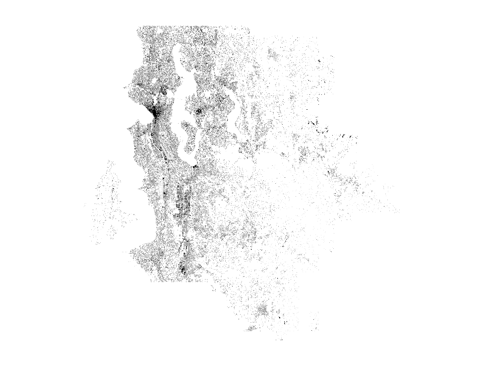
2016 Man Made Features Area and Height
Learn more by reading the GIS FAQ 🗺
Summary
Provides height of man made feature areas.
The product is a continuous raster data set which stores a single value which represents a general height of the man made feature A default classification of man made feature class (parking lot/roads, low-rise building, mid-rise building, high-rise building) is available when using the enterprise layer file.
Description
Height of man made feature areas.
Determined by difference between lidar models: Digital Surface Model and Digital Ground Model, then masking out using 2015 impervious areas.
Layer information
| Layer Name | LANDCOVER_ManmadeFeatureHeights2016 |
| Subject Category | Imagery |
| Title | 2016 Man Made Features Area and Height |
| Feature Count | 1 |
| Feature Type | Raster |
| Next Update | None planned |
| Spatial reference | None |
| Control ID | None |
| Place Keywords | Washington, King County |
| Theme Keywords | Building Height, Impervious, Elevation, Elevation, Environment, Imagerybasemapsearthcover, Structure, Transportation |
| Supplemental Information |
Attribute information
|
OBJECTID
From Esri |
Description
Internal feature number. DomainSequential unique whole numbers that are automatically generated. |
|
SHAPE
From Esri |
Description
Feature geometry. DomainCoordinates defining the features. |
|
MosaicID
No Source Noted |
Description
Not Found DomainNot Found |
|
SHAPE_Length
From Esri |
Description
Length of feature in internal units. DomainPositive real numbers that are automatically generated. |
|
SHAPE_Area
From Esri |
Description
Area of feature in internal units squared. DomainPositive real numbers that are automatically generated. |
Contact information
| Maintained by | KCGIS Center |
| Primary |
KCGIS Center
giscenter@kingcounty.gov |
Terms of Use
| License | Terms of use and copyright |
Summary
Provides height of man made feature areas.
The product is a continuous raster data set which stores a single value which represents a general height of the man made feature A default classification of man made feature class (parking lot/roads, low-rise building, mid-rise building, high-rise building) is available when using the enterprise layer file.
Description
Height of man made feature areas.
Determined by difference between lidar models: Digital Surface Model and Digital Ground Model, then masking out using 2015 impervious areas.
Contact information
| Maintained by | KCGIS Center |
| Primary |
KCGIS Center
giscenter@kingcounty.gov |
Terms of use and copyright
| License | Terms of use and copyright |
Change history
| 3/1/2017 |
3 Overlay lidar with impervious layer for man made features. |
| 2/1/2017 |
2 Build 2016 surface and ground model lidar. |
| 1/3/2017 |
1 Build Impervious layer from 4 band near infrared images. |