
GIS Data Catalog
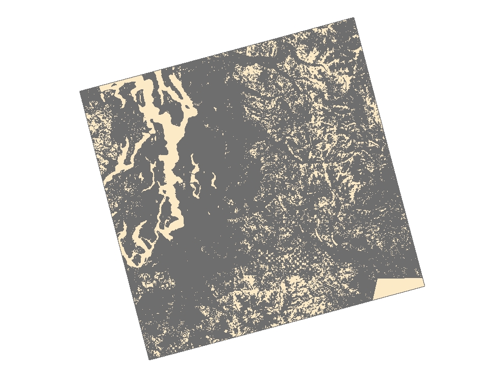
2000 Era C-CAP Washington Land Cover
Learn more by reading the GIS FAQ 🗺
Summary
To improve the understanding of coastal uplands and wetlands, and their linkages with the distribution, abundance, and health of living marine resources.
Description
This data set is the 2000 era or late-date classification of Coastal Washington.
This data set consists of about 33 full or partial Landsat 7 Thematic Mapper (TM)scenes which were analyzed according to the Coastal Change Analysis Program (C-CAP) protocol to determine land cover.
Layer information
| Layer Name | LANDCOVER_NOAACoastalChangeAnalysis2000LandCover |
| Subject Category | Imagery |
| Title | 2000 Era C-CAP Washington Land Cover |
| Feature Count | 1 |
| Feature Type | Raster |
| Spatial reference | None |
| Control ID | None |
| Place Keywords | Washington, Coastal Zone, US West Coast |
| Theme Keywords | Change Detection Analysis, Land Cover Analysis |
| Supplemental Information | None |
Attribute information
|
OBJECTID
From Esri |
Description
Internal feature number. DomainSequential unique whole numbers that are automatically generated. |
|
Shape
From Esri |
Description
Feature geometry. DomainCoordinates defining the features. |
|
Shape_Length
From Esri |
Description
Length of feature in internal units. DomainPositive real numbers that are automatically generated. |
|
Shape_Area
From Esri |
Description
Area of feature in internal units squared. DomainPositive real numbers that are automatically generated. |
|
MosaicID
No Source Noted |
Description
Not Found DomainNot Found |
Contact information
| Maintained by | KCGIS Center |
| Primary |
KCGIS Center
giscenter@kingcounty.gov |
Terms of Use
| License | Terms of use and copyright |
Summary
To improve the understanding of coastal uplands and wetlands, and their linkages with the distribution, abundance, and health of living marine resources.
Description
This data set is the 2000 era or late-date classification of Coastal Washington.
This data set consists of about 33 full or partial Landsat 7 Thematic Mapper (TM)scenes which were analyzed according to the Coastal Change Analysis Program (C-CAP) protocol to determine land cover.
Contact information
| Maintained by | KCGIS Center |
| Primary |
KCGIS Center
giscenter@kingcounty.gov |
Terms of use and copyright
| License | Terms of use and copyright |