
GIS Data Catalog
Shoreline Master Program Public Access Priorities
Learn how to get an ArcGIS Online account 🗺
Use this Data
|
Links
How to use in ArcGIS Pro |
|
| Sharing Status | Not Public |
Summary
Public access is defined as the ability of the general public to reach, touch, and enjoy the water's edge, to travel on the waters of the state, and to view the water and the shoreline from adjacent locations (WAC 173 26 221(4)(a)).
A subset of the gap areas were identified as priority areas for providing new public access or improved public access where informal access already exists.
Remaining gap areas are considered areas where additional future opportunities for public access may be pursued.
Existing County ownerships or street ends were identified as priority sites for providing new or improved public access if they fall within a priority area.
If there are no County ownerships within a priority area, that area is considered a general location where the County may pursue new voluntary acquisitions for public recreation.
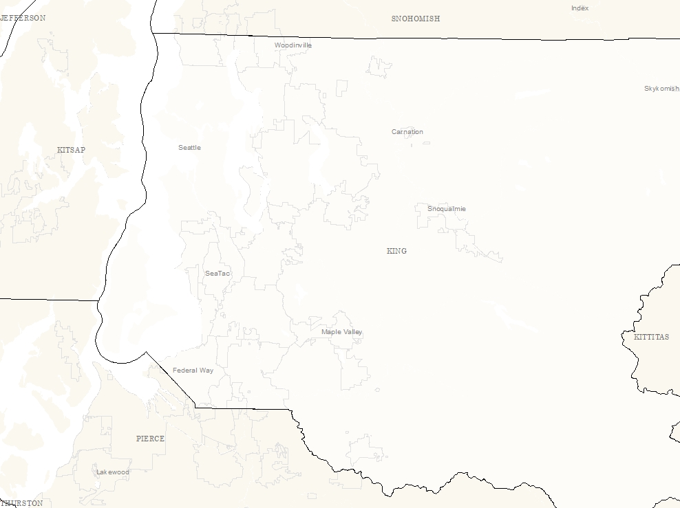
The results of the gaps and priorities analysis resulted in the identification of ten priority shoreline areas where the County can focus efforts to provide new formal public access on existing County ownerships or pursue new voluntary acquisitions for public recreation.
Description
SMP - Public Access Priorities
Layer information
| Layer Name | smp_access_priorities_area |
| Subject Category | Planning |
| Title | Shoreline Master Program Public Access Priorities |
| Feature Count | 10 |
| Feature Type | Polygon |
| Next Update | None planned |
| Spatial reference | EPSG:2926 |
| Control ID | 490 |
| Place Keywords | Pacific NW, King County, WA, Washington State |
| Theme Keywords | Land Use, Environmental, Planning, Environment, Planningcadastre |
| Supplemental Information |
None |
Attribute information
|
SHAPE
From ESRI |
Description
Feature Geometry DomainCoordinates defining the features |
|
GAP_LEVEL
From King County |
Description
Identifies a priority level for providing new or improved shoreline visual or physical access points, based on existing gaps in formal access points, apparent level of demand, and connectivity to existing or planned public access projects. DomainPriority Gap - Priority public access gap area. Additional Gap - Additional public access gap area. |
|
PHYS_GAP
From King County |
Description
Identifies where there is a gap in existing formal access points to shorelines in terms of physical access opportunity (i.e. opportunity to enter the water). The locations included in this shapefile were based on review by King County parks and natural land managers of existing formal and informal opportunities for visual and physical access. DomainNo - There is no physical public access gap. Yes - There is a physical public access gap. |
|
VISUAL_GAP
From King County |
Description
Identifies where there is a gap in existing formal access points to shorelines in terms of visual access opportunity (i.e. opportunity for viewing shoreline or water, such as from a viewpoint or trail). The locations included in this shapefile were based on review by King County parks and natural land managers of existing formal and informal opportunities for visual and physical access. DomainNo - There is no visual public access gap. Yes - There is a visual public access gap. |
|
OBJECTID
From ESRI |
Description
Internal feature number. DomainSequential unique whole numbers that are automatically generated. |
|
SHAPE.STArea()
No Source Noted |
Description
Not Found DomainNot Found |
|
SHAPE.STLength()
No Source Noted |
Description
Not Found DomainNot Found |
Contact information
| Maintained by | DNRP - Water and Land Resources |
| Primary |
Harkeerat Kang
Harkeerat.Kang@kingcounty.gov |
Terms of Use
| License | Terms of use and copyright |
Use this Data
|
Links
How to use in ArcGIS Pro |
|
| Sharing Status | Not Public |
Summary
Public access is defined as the ability of the general public to reach, touch, and enjoy the water's edge, to travel on the waters of the state, and to view the water and the shoreline from adjacent locations (WAC 173 26 221(4)(a)).
A subset of the gap areas were identified as priority areas for providing new public access or improved public access where informal access already exists.
Remaining gap areas are considered areas where additional future opportunities for public access may be pursued.
Existing County ownerships or street ends were identified as priority sites for providing new or improved public access if they fall within a priority area.
If there are no County ownerships within a priority area, that area is considered a general location where the County may pursue new voluntary acquisitions for public recreation.
The results of the gaps and priorities analysis resulted in the identification of ten priority shoreline areas where the County can focus efforts to provide new formal public access on existing County ownerships or pursue new voluntary acquisitions for public recreation.
Description
SMP - Public Access Priorities
Contact information
| Maintained by | DNRP - Water and Land Resources |
| Primary |
Harkeerat Kang
Harkeerat.Kang@kingcounty.gov |
Terms of use and copyright
| License | Terms of use and copyright |