
GIS Data Catalog
Shoreline Master Program Tidal Influence Reach Quality
Learn how to get an ArcGIS Online account 🗺
Use this Data
|
Links
How to use in ArcGIS Pro |
|
| Sharing Status | Not Public |
Summary
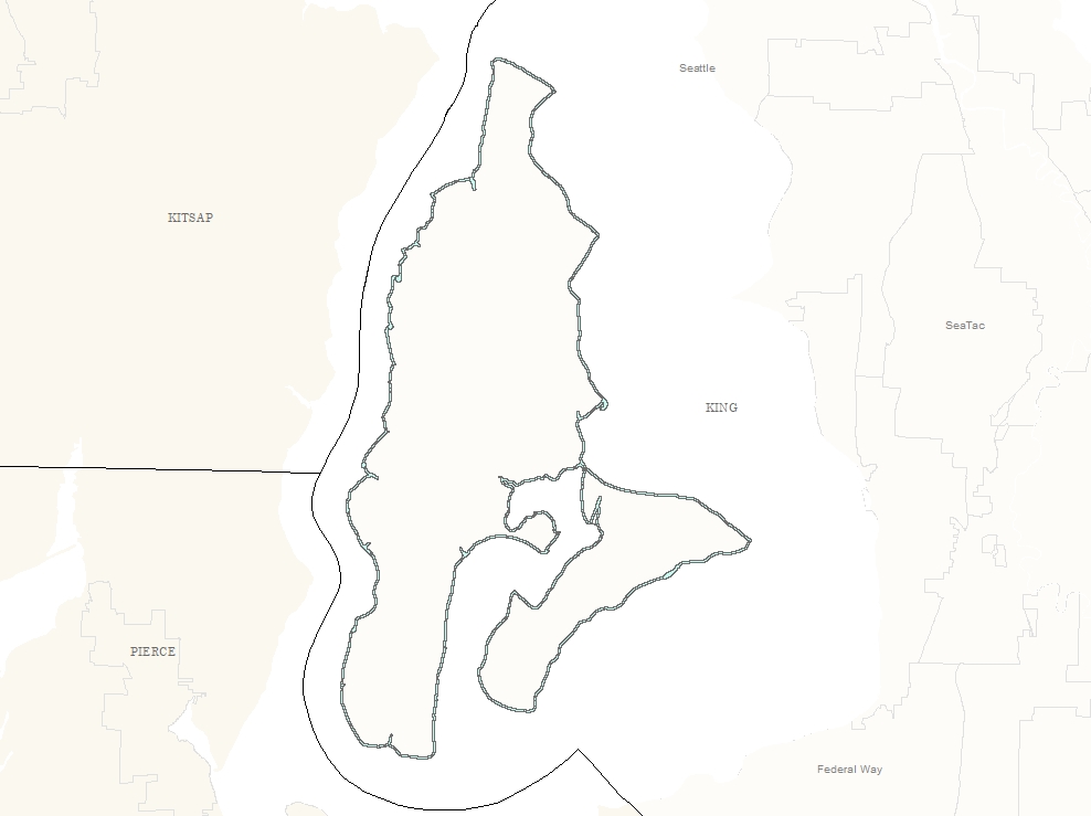
Tides influence the shoreline environment through the advance and retreat of marine water due to changes in gravitational effects of the moon as the earth rotates each day.
In King County there are two high tides and two low tides of unequal height every day.
Description
Tidal Influence Reach Quality
Layer information
| Layer Name | smp_tidal_area |
| Subject Category | Planning |
| Title | Shoreline Master Program Tidal Influence Reach Quality |
| Feature Count | 160 |
| Feature Type | Polygon |
| Next Update | None planned |
| Spatial reference | EPSG:2926 |
| Control ID | 458 |
| Place Keywords | Pacific NW, King County, WA, Washington State |
| Theme Keywords | Land Use, Plan, Planning, Ecological Process, Planningcadastre |
| Supplemental Information |
For more information on tidal ecological process visit http://www.kingcounty.gov/environment/waterandland/shorelines/program-update/shoreline-ecology/tidal-influences.aspx and for all shoreline ecological processes visit http://www.kingcounty.gov/environment/waterandland/shorelines/program-update/shoreline-ecology.aspx |
Attribute information
|
Shape
From ESRI |
Description
Feature Geometry DomainCoordinates defining the features |
|
OBJECTID
From ESRI |
Description
Internal feature number. DomainSequential unique whole numbers that are automatically generated. |
|
REACH_TYPE
No Source Noted |
Description
The type of shoreline reach. DomainNot Found |
|
GRIDCODE
From ESRI |
Description
The shoreline reach quality score. DomainCoordinates defining the features. |
|
SHAPE
From ESRI |
Description
Feature geometry. DomainCoordinates defining the features. |
|
SHAPE.STLength()
No Source Noted |
Description
Not Found DomainNot Found |
|
SCORE_DEF
No Source Noted |
Description
The shoreline reach quality. DomainNot Found |
Contact information
| Maintained by | DNRP - Water and Land Resources |
| Primary |
Harkeerat Kang
Harkeerat.Kang@kingcounty.gov |
Terms of Use
| License | Terms of use and copyright |
Use this Data
|
Links
How to use in ArcGIS Pro |
|
| Sharing Status | Not Public |
Summary
Tides influence the shoreline environment through the advance and retreat of marine water due to changes in gravitational effects of the moon as the earth rotates each day.
In King County there are two high tides and two low tides of unequal height every day.
Description
Tidal Influence Reach Quality
Contact information
| Maintained by | DNRP - Water and Land Resources |
| Primary |
Harkeerat Kang
Harkeerat.Kang@kingcounty.gov |
Terms of use and copyright
| License | Terms of use and copyright |