
GIS Data Catalog
Natioinal Elevation Dataset
Learn more by reading the GIS FAQ 🗺
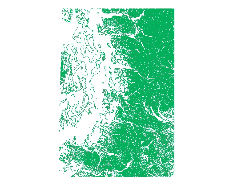
Summary
Geospatial elevation data are utilized by the scientific and resource management communities for global change research, hydrologic modeling, resource monitoring, mapping, and visualization applications.
Description
The U.S. Geological Survey has developed a National Elevation Dataset (NED).
The NED is a seamless mosaic of best-available elevation data.
The 7.5-minute elevation data for the conterminous United States are the primary initial source data.
In addition to the availability of complete 7.5-minute data, efficient processing methods were developed to filter production artifacts in the existing data, convert to the NAD83 datum, edge-match, and fill slivers of missing data at quadrangle seams.
One of the effects of the NED processing steps is a much-improved base of elevation data for calculating slope and hydrologic derivatives.
The specifications for the NED 1 arc second and 1/3 arc second data are: Geographic coordinate system Horizontal datum of NAD83, except for AK which is NAD27 Vertical datum of NAVD88, except for AK which is NAVD29 Z units of meters
Layer information
| Layer Name | SURFACE_NationalElevationDatasetGeneralizedContours |
| Subject Category | Imagery |
| Title | Natioinal Elevation Dataset |
| Feature Count | 1 |
| Feature Type | Raster |
| Next Update | As needed |
| Spatial reference | None |
| Control ID | None |
| Place Keywords | NORTH AMERICA, UNITED STATES OF AMERICA, UNITED STATES |
| Theme Keywords | EROS, RASTER, DEM, LANDFORMS, DIGITAL ELEVATION MODEL, TOPOGRAPHY, GEODATA, 2-ARC-SECOND DEM, GIS, 1-DEGREE DEM, DIGITAL MAPPING, CARTOGRAPHY, USGS, MAPPING, LAND SURFACE, TERRAIN ELEVATION, EARTH SCIENCE, EDC, 7.5-MINUTE DEM, Elevation |
| Supplemental Information |
(Source DEM information) |
Attribute information
|
OBJECTID
From ESRI |
Description
Internal feature number. DomainSequential unique whole numbers that are automatically generated. |
|
Shape
From ESRI |
Description
Feature geometry. DomainCoordinates defining the features. |
|
Shape_Length
From Esri |
Description
Length of feature in internal units. DomainPositive real numbers that are automatically generated. |
|
Shape_Area
From Esri |
Description
Area of feature in internal units squared. DomainPositive real numbers that are automatically generated. |
|
MosaicID
No Source Noted |
Description
Not Found DomainNot Found |
Contact information
| Maintained by | KCGIS Center |
| Primary |
KCGIS Center
giscenter@kingcounty.gov |
Terms of Use
| License | Terms of use and copyright |
Summary
Geospatial elevation data are utilized by the scientific and resource management communities for global change research, hydrologic modeling, resource monitoring, mapping, and visualization applications.
Description
The U.S. Geological Survey has developed a National Elevation Dataset (NED).
The NED is a seamless mosaic of best-available elevation data.
The 7.5-minute elevation data for the conterminous United States are the primary initial source data.
In addition to the availability of complete 7.5-minute data, efficient processing methods were developed to filter production artifacts in the existing data, convert to the NAD83 datum, edge-match, and fill slivers of missing data at quadrangle seams.
One of the effects of the NED processing steps is a much-improved base of elevation data for calculating slope and hydrologic derivatives.
The specifications for the NED 1 arc second and 1/3 arc second data are: Geographic coordinate system Horizontal datum of NAD83, except for AK which is NAD27 Vertical datum of NAVD88, except for AK which is NAVD29 Z units of meters
Contact information
| Maintained by | KCGIS Center |
| Primary |
KCGIS Center
giscenter@kingcounty.gov |
Terms of use and copyright
| License | Terms of use and copyright |