
GIS Data Catalog
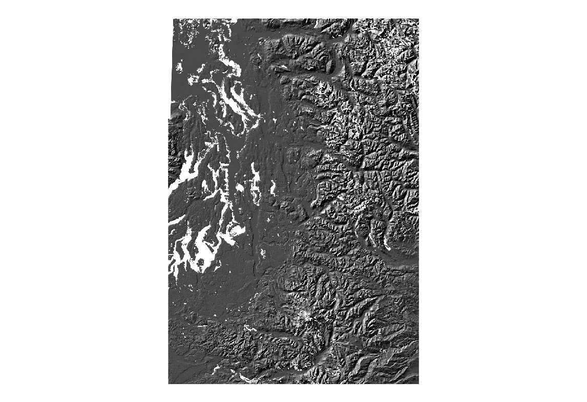
2000 Shuttle Radar Topography Mission (SRTM) Spatial Metadata Dataset - Hillshade
Learn more by reading the GIS FAQ 🗺
Summary
The objective of the SRTM mission is to obtain elevation radar data on a near-global scale and generate the most complete high-resolution digital topographic database of the Earth.
The information collected by SRTM will be used to provide a tool to enhance the activities of scientists, the military, commercial, and civilian users.
Description
The Shuttle Radar Topography Mission (SRTM) aboard the Space Shuttle Endeavour, launched on Feb.
11, 2000.
SRTM used the same radar instrument that comprised the Spaceborne Imaging Radar-C/X-Band Synthetic Aperture Radar (SIR-C/X-SAR) that flew twice on the Space Shuttle Endeavour in 1994.
SRTM was assigned to collect 3-D measurements of the Earth's To collect the 3-D data, engineers added a 60-meter (approximately 200-foot) mast, installed additional C-band and X-band antennas, and improved tracking and navigation devices.
The mission is a cooperative project between NASA, the National Imagery and Mapping Agency (NIMA) of the U.S. Department of Defense and the German and Italian space agencies.
It is managed by NASA's Jet Propulsion Laboratory (JPL), Pasadena, CA, for NASA's Earth Science Enterprise, Washington, D.C.
Layer information
| Layer Name | SURFACE_ShuttleRadarTopographyHillshade |
| Subject Category | Imagery |
| Title | 2000 Shuttle Radar Topography Mission (SRTM) Spatial Metadata Dataset - Hillshade |
| Feature Count | 1 |
| Feature Type | Raster |
| Spatial reference | None |
| Control ID | None |
| Place Keywords | None |
| Theme Keywords | None |
| Supplemental Information |
http://www5.kingcounty.gov/sdc/addl_doc/ShuttleRadarTopographyMissionSpatial.htm |
Attribute information
|
OBJECTID
From ESRI |
Description
Internal feature number. DomainSequential unique whole numbers that are automatically generated. |
|
Shape
From ESRI |
Description
Feature geometry. DomainCoordinates defining the features. |
|
Shape_Length
From Esri |
Description
Length of feature in internal units. DomainPositive real numbers that are automatically generated. |
|
Shape_Area
From Esri |
Description
Area of feature in internal units squared. DomainPositive real numbers that are automatically generated. |
|
MosaicID
No Source Noted |
Description
Not Found DomainNot Found |
Contact information
| Maintained by | KCGIS Center |
| Primary |
KCGIS Center
giscenter@kingcounty.gov |
Terms of Use
| License | Terms of use and copyright |
Summary
The objective of the SRTM mission is to obtain elevation radar data on a near-global scale and generate the most complete high-resolution digital topographic database of the Earth.
The information collected by SRTM will be used to provide a tool to enhance the activities of scientists, the military, commercial, and civilian users.
Description
The Shuttle Radar Topography Mission (SRTM) aboard the Space Shuttle Endeavour, launched on Feb.
11, 2000.
SRTM used the same radar instrument that comprised the Spaceborne Imaging Radar-C/X-Band Synthetic Aperture Radar (SIR-C/X-SAR) that flew twice on the Space Shuttle Endeavour in 1994.
SRTM was assigned to collect 3-D measurements of the Earth's To collect the 3-D data, engineers added a 60-meter (approximately 200-foot) mast, installed additional C-band and X-band antennas, and improved tracking and navigation devices.
The mission is a cooperative project between NASA, the National Imagery and Mapping Agency (NIMA) of the U.S. Department of Defense and the German and Italian space agencies.
It is managed by NASA's Jet Propulsion Laboratory (JPL), Pasadena, CA, for NASA's Earth Science Enterprise, Washington, D.C.
Contact information
| Maintained by | KCGIS Center |
| Primary |
KCGIS Center
giscenter@kingcounty.gov |
Terms of use and copyright
| License | Terms of use and copyright |