
GIS Data Catalog
Solid Waste Properties
Learn how to get an ArcGIS Online account 🗺
Use this Data
|
Links
How to use in ArcGIS Pro |
|
| Sharing Status | Not Public |
Summary
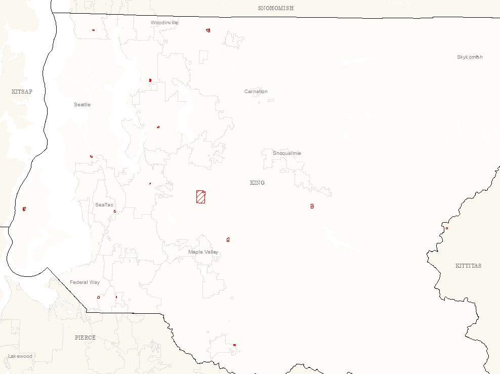
Identify Solid Waste facility properties in King County.
Description
King County Solid Waste facility properties.
Layer information
| Layer Name | sw_facilities_prop_area |
| Subject Category | Property |
| Title | Solid Waste Properties |
| Feature Count | 58 |
| Feature Type | Polygon |
| Next Update | As needed |
| Spatial reference | EPSG:2926 |
| Control ID | 551 |
| Place Keywords | Pacific NW, Washington State, King County, WA |
| Theme Keywords | Parcels, Property |
| Supplemental Information |
None |
Attribute information
|
OBJECTID
From ESRI |
Description
Internal feature number. DomainSequential unique whole numbers that are automatically generated. |
|
SHAPE
From ESRI |
Description
Feature geometry. DomainCoordinates defining the features. |
|
PIN
No Source Noted |
Description
Facility parcel identification number DomainNumbers in string. |
|
TrSt_ID
No Source Noted |
Description
Facility unique identifier DomainPositive numbers that represent a unique facility ID. |
|
Shape.STArea()
From SQL Server |
Description
Returns the area of a geometry instance in square units, based on the spatial reference identifier (SRID) of the geometry. DomainDouble |
|
Shape.STLength()
From SQL Server |
Description
Returns the total length of the elements in a geometry instance. DomainDouble |
Contact information
| Maintained by | DNRP - Solid Waste |
| Primary |
Chris Landback
chris.landback@kingcounty.gov |
Terms of Use
| License | Terms of use and copyright |
Use this Data
|
Links
How to use in ArcGIS Pro |
|
| Sharing Status | Not Public |
Summary
Identify Solid Waste facility properties in King County.
Description
King County Solid Waste facility properties.
Contact information
| Maintained by | DNRP - Solid Waste |
| Primary |
Chris Landback
chris.landback@kingcounty.gov |
Terms of use and copyright
| License | Terms of use and copyright |
Change history
| Update 1 |
Facility parcel is copied in and attribute information is updated as requested. |