
GIS Data Catalog
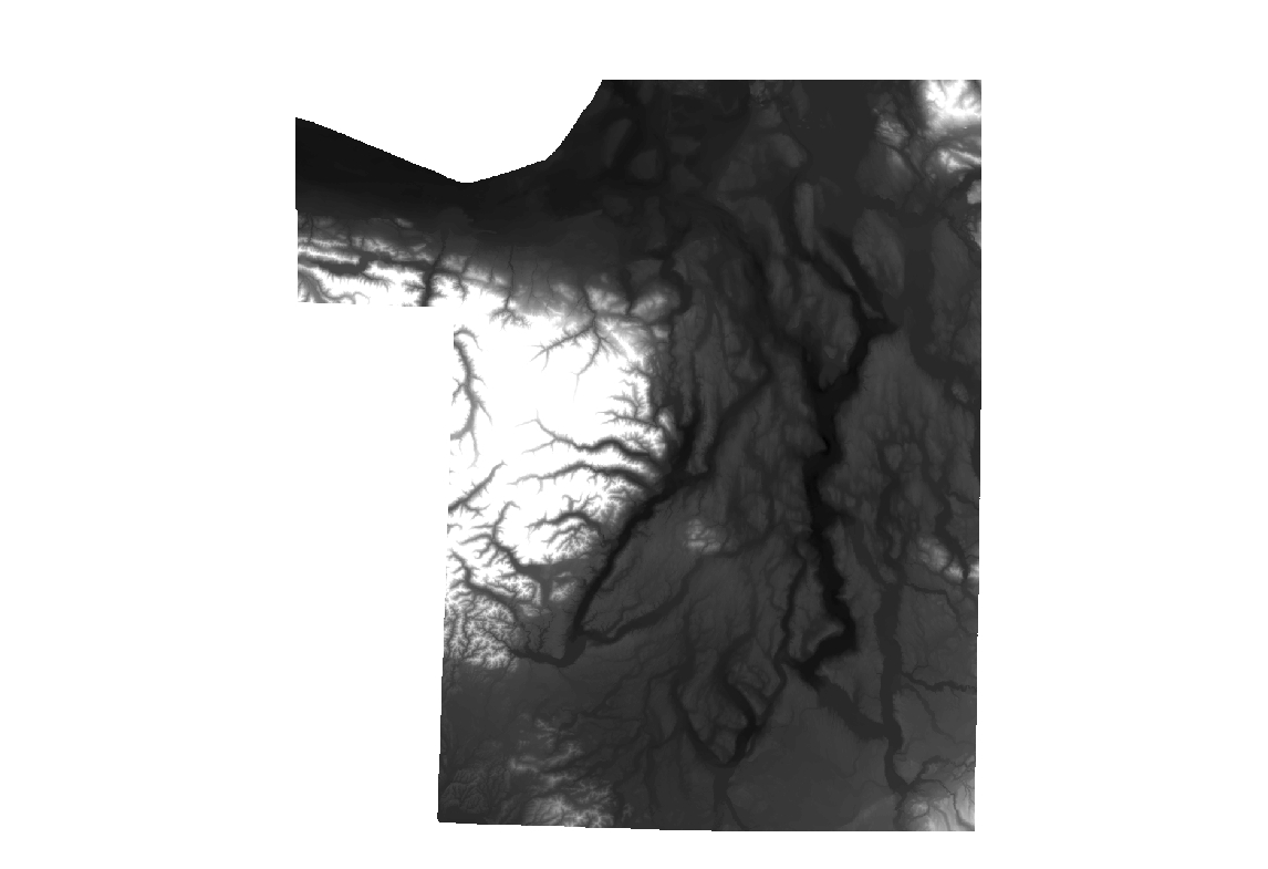
Combined bathymetry and topography of the Puget Lowlands, Washington State (January 2005)
Combined bathymetry and topography of the Puget Lowlands, Washington State (January 2005)
Learn more by reading the GIS FAQ 🗺
Summary
DEM and hillshade were created to serve as generalized cartographic backdrop where a regional view of elevation data is needed
Description
See hyperlink in Supplemental Information for additional information.
Layer information
| Layer Name | SURFACE_CombinedBathyAndTopoForPugetSoundLowlands |
|---|---|
| Subject Category | Imagery |
| Title | Combined bathymetry and topography of the Puget Lowlands, Washington State (January 2005) |
| Feature Count | 1 |
| Feature Type | Raster |
| Spatial reference | None |
| Control ID | None |
| Place Keywords | None |
| Theme Keywords | Puget Sound |
| Supplemental Information |
Attribute information
|
OBJECTID
From ESRI |
Description
Internal feature number. DomainSequential unique whole numbers that are automatically generated. |
|---|---|
|
Shape
From ESRI |
Description
Feature geometry. DomainCoordinates defining the features. |
|
Shape_Length
From Esri |
Description
Length of feature in internal units. DomainPositive real numbers that are automatically generated. |
|
Shape_Area
From Esri |
Description
Area of feature in internal units squared. DomainPositive real numbers that are automatically generated. |
|
MosaicID
No Source Noted |
Description
Not Found DomainNot Found |
Contact information
| Maintained by | KCGIS Center |
|---|---|
| Primary |
KCGIS Center
giscenter@kingcounty.gov |
Terms of Use
| License | Terms of use and copyright |
Summary
DEM and hillshade were created to serve as generalized cartographic backdrop where a regional view of elevation data is needed
Description
See hyperlink in Supplemental Information for additional information.
Contact information
| Maintained by | KCGIS Center |
|---|---|
| Primary |
KCGIS Center
giscenter@kingcounty.gov |
Terms of use and copyright
| License | Terms of use and copyright |