
GIS Data Catalog
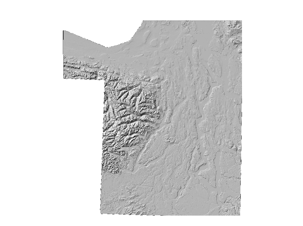
Cartographic Greyscale Hillshade from combined bathymetry and topography of the Puget Lowlands
Cartographic Greyscale Hillshade from combined bathymetry and topography of the Puget Lowlands
Learn more by reading the GIS FAQ 🗺
Summary
Generalized cartographic display
Description
Default grey-scale hillshade derived from PSDEM2005 source data.
Layer information
| Layer Name | SURFACE_PSDEMHillshadeCartographic |
|---|---|
| Subject Category | Imagery |
| Title | Cartographic Greyscale Hillshade from combined bathymetry and topography of the Puget Lowlands |
| Feature Count | 1 |
| Feature Type | Raster |
| Next Update | None planned |
| Spatial reference | None |
| Control ID | None |
| Place Keywords | Pacific NW, Puget Sound Lowlands, Washington State |
| Theme Keywords | Elevation, Elevation Model, Digital Elevation Model, Hillshade, Topography |
| Supplemental Information |
All these datasets exist only at KeyRegion index level. |
Attribute information
|
OBJECTID
From ESRI |
Description
Internal feature number. DomainSequential unique whole numbers that are automatically generated. |
|---|---|
|
Shape
From ESRI |
Description
Feature geometry. DomainCoordinates defining the features. |
|
Shape_Length
From Esri |
Description
Length of feature in internal units. DomainPositive real numbers that are automatically generated. |
|
Shape_Area
From Esri |
Description
Area of feature in internal units squared. DomainPositive real numbers that are automatically generated. |
|
MosaicID
No Source Noted |
Description
Not Found DomainNot Found |
Contact information
| Maintained by | KCGIS Center |
|---|---|
| Primary |
KCGIS Center
giscenter@kingcounty.gov |
Terms of Use
| License | Terms of use and copyright |
Summary
Generalized cartographic display
Description
Default grey-scale hillshade derived from PSDEM2005 source data.
Contact information
| Maintained by | KCGIS Center |
|---|---|
| Primary |
KCGIS Center
giscenter@kingcounty.gov |
Terms of use and copyright
| License | Terms of use and copyright |
Change history
| 12/1/2005 |
Used ArcInfo 9.0 workstation ASCIIGRID command to convert ascii-formatted file to ESRI grid format |
| 12/1/2005 |
Used ArcInfo 9.0 workstation GRIDIMAGE command to create TIF version of GRID for distribution to Spatial Data Warehouse |
| 12/1/2005 |
Used ArcInfo 9.0 workstation HILLSHADE command with default arguements to create grey-scale hillshade from reprojected DEM. |
| 12/1/2005 |
Use MrSID GeoExpress v. 5 to convert TIFF to SID for posting to Spatial Data Warehouse. Image was compressed at approximately 7x. |
| 12/1/2005 |
Use ArcInfo 9.0 workstation PROJECTDEFINE to establish Washington State Plane North, NAD 83, units Feet projection header. Used PROJECTGRID command to reproject grid to HARN. |
| 12/1/2005 |
Downloaded and unzipped psdem_2005.asc from http://www.ocean.washington.edu/data/pugetsound/psdem2005.html |